California Hikers Used AI to Plan Mount Shasta Climb. They Were Rescued After Getting Lost
Three novice climbers from Roseville reached Mount Shasta’s summit hours after the recommended turnaround time, then became lost and stranded during their descent. Authorities said the group relied heavily on Google’s Gemini AI for route, food and water advice.
By StoryBreak
Published September 3, 2026 at 10:13 PM
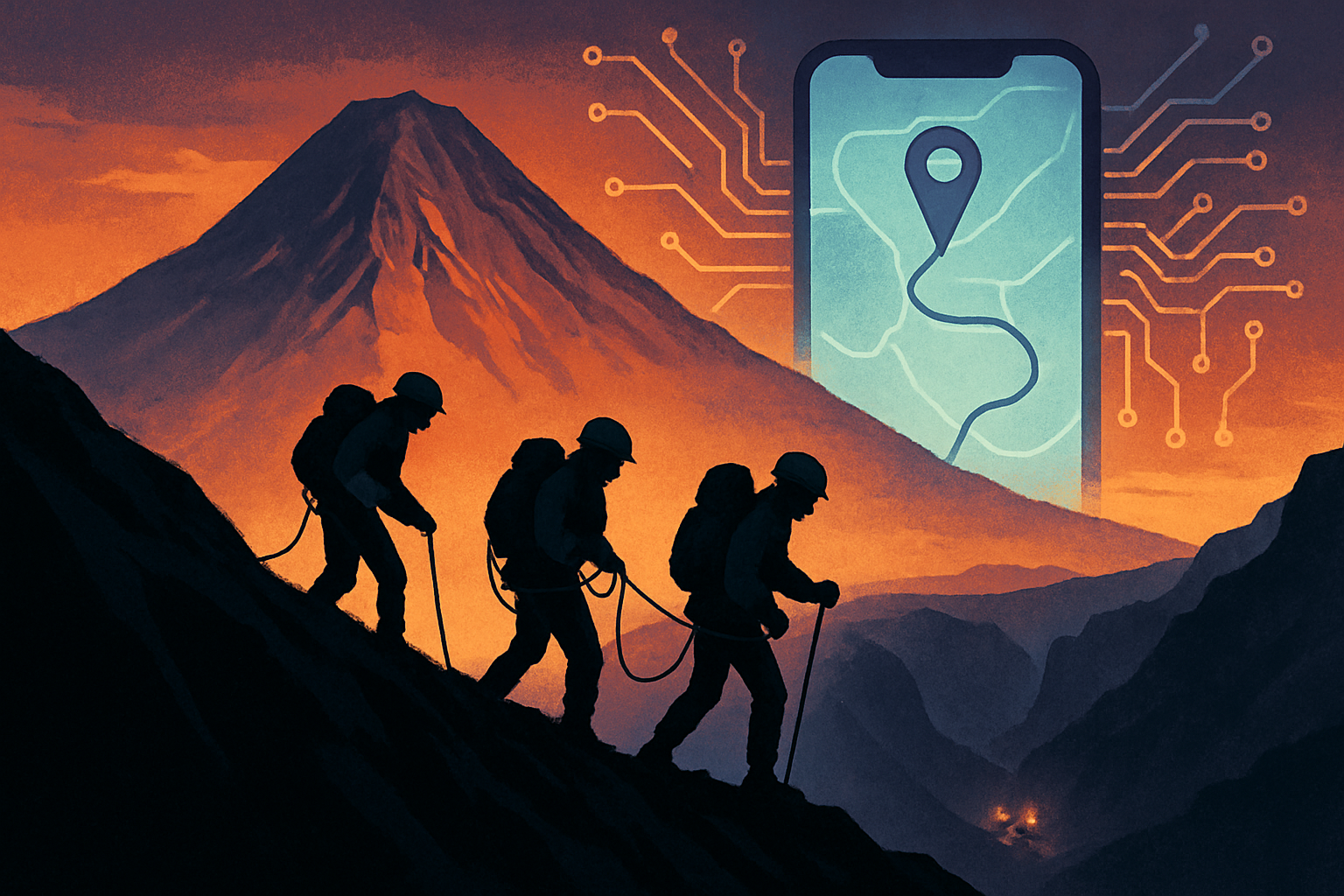
Three novice climbers from Roseville, California, were rescued from Mount Shasta on Monday after relying heavily on an artificial-intelligence chatbot to plan their ascent, according to the Siskiyou County Sheriff’s Office.
The hikers established a base camp at roughly 8,400 feet on Saturday, Aug. 29, and began climbing toward the 14,179-foot summit at about 3 a.m. Sunday. They reached the top around 7 p.m.—about seven hours after the recommended noon turnaround time.
Rather than returning before dark, the group began descending at night. About an hour into the descent, the climbers contacted sheriff’s dispatchers for directions. They later wandered off the established route and into the steep Mud Creek Canyon drainage on Mount Shasta’s southern side, officials said.
One member of the group fell and injured his knee. The three hikers eventually stopped near 11,000 feet and spent the night exposed on the mountain, without enough food, water or emergency equipment for an unplanned bivouac.
U.S. Forest Service climbing rangers reached the group at about 9:30 a.m. Monday and provided medical attention, food and water. Strong winds prevented attempted helicopter hoists, so the climbers and rescuers continued down the mountain on foot. They returned to their base camp during the afternoon, where Siskiyou County search-and-rescue personnel helped escort them back to the Clear Creek trailhead. The operation ended that evening, and officials said the hikers returned without further incident.
Afterward, the climbers told authorities they had used Google’s Gemini AI to research the route and decide what food and water to bring. The sheriff’s office said Gemini’s guidance led them to pack for what they expected to be an eight-hour ascent—far less than they needed when the climb took roughly 16 hours to reach the summit and then extended into an overnight ordeal.
The incident illustrates the danger of treating a general-purpose chatbot as a substitute for current mountain intelligence, route knowledge or professional judgment. Conditions on Mount Shasta can change rapidly with elevation, weather and seasonal melt, while digital route information may not show every hazard or distinguish an established path from dangerous terrain.
The Clear Creek route is often described as a nontechnical way to climb Mount Shasta when conditions allow, but officials stressed that it still requires strong physical preparation and planning for injuries, bad weather, navigation errors and an unexpected night outdoors. The sheriff’s office also warned that getting lost near Mud Creek can lead climbers into more hazardous terrain.
Authorities advised future climbers to contact the local Forest Service ranger station before departing, carry multiple navigation options rather than relying only on a phone or smartwatch, and repeatedly verify that they remain on the correct route.
The central safety rule, officials said, is simple: Climbers who have not reached the summit by noon should turn around while there is still enough daylight for themselves—or a potential rescue team—to get off the mountain.
StoryBreak
Independent digital news and reporting, updated throughout the day.
This article was researched and drafted with AI assistance and reviewed as part of StoryBreak's editorial process before publication. Read our editorial standards.