NASA Satellite Turns a Volcano’s 2025 Awakening Into a Lava-flow Time-lapse
A newly released sequence from the NASA-ISRO NISAR satellite shows lava spreading from Russia’s Krasheninnikov volcano over eight months, offering an unusually clear look at how a remote eruption evolves after centuries of quiet.
By StoryBreak
Published September 26, 2026 at 12:35 AM
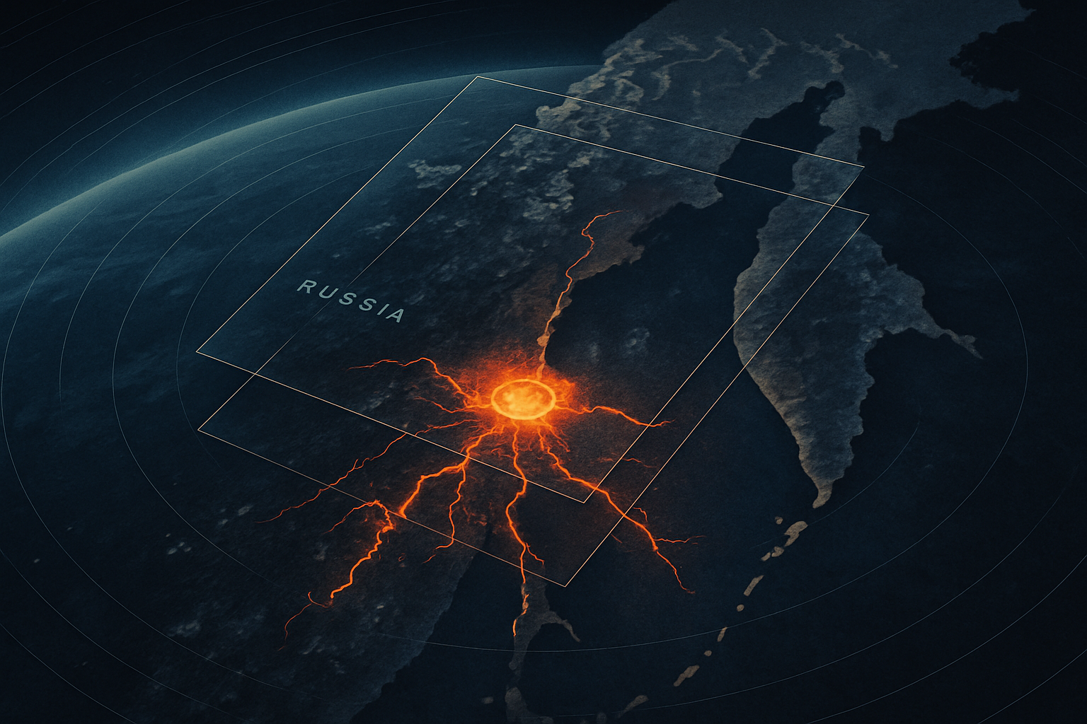
A volcano on Russia’s remote Kamchatka Peninsula has become a moving target in space: NASA has assembled months of radar observations into a time-lapse showing lava spilling outward from Krasheninnikov’s northern crater.
The sequence, released September 24, 2026, uses imagery collected by the NASA-ISRO Synthetic Aperture Radar mission, or NISAR. Its frames run from December 25, 2025, through August 17, 2026. Rather than showing one dramatic blast, the animation records a slower transformation: lava fills an inner depression, overtops it, enters a broader crater, and spreads into a widening fan across the volcano’s surface.
That distinction is important. Krasheninnikov did not erupt for the first time when NISAR began watching it. The eruption started on August 2, 2025, according to the Smithsonian Institution’s Global Volcanism Program, after ash explosions and lava emissions were detected by regional monitoring teams. NASA says the volcano had been quiet for nearly five centuries; the Smithsonian record places its previous eruption around 1550. That is why the event has been described variously as an awakening after roughly 400, 500, or 600 years, depending on which historical estimate is used.
The eruption came days after a magnitude-8.8 earthquake struck offshore on July 30, 2025. NASA scientists have described the earthquake as an apparent jolt to the volcano, but that wording matters: an apparent trigger is not the same as a demonstrated cause. Volcanoes are driven by complex underground pressure and magma systems, and establishing a direct connection requires more evidence than timing alone.
NISAR’s contribution is different. The satellite’s radar can collect measurements through darkness and many kinds of cloud cover, making it especially useful in places such as Kamchatka, where weather can obscure optical satellite images. From about 747 kilometers above Earth, the spacecraft returned to the same area twice every 12 days—once traveling south to north and once in the opposite direction.
NASA scientists used 17 of those observations to show the lava field’s expansion. The result is less like a conventional photograph and more like a map of surface change. Radar highlights differences in the texture and structure of the ground, allowing researchers to follow the advancing flow even when the volcano is hidden from ordinary cameras.
The original eruption was not merely a lava spill. Early explosions sent ash as high as 8 to 10 kilometers above sea level, according to the Smithsonian’s summary of reports from the Kamchatkan Volcanic Eruption Response Team. Russia’s Hydrometeorological Service also reported sulfur dioxide in the ash plume and raised the aviation hazard code to orange.
For scientists, the value of the new animation lies in its continuity. A single satellite image can confirm that a volcano is active. A repeated radar record can show how activity changes—whether lava is advancing, pooling, branching, or stopping. Those details help researchers reconstruct what happened inside the volcano and can support hazard assessments for aviation and nearby field operations.
The sequence also comes with a built-in limit: it ends on August 17, 2026. The Smithsonian record confirms continued eruptive activity earlier in 2026, but the animation alone cannot establish what Krasheninnikov is doing now. The next useful step is therefore continued comparison of NISAR data with regional monitoring, ash advisories, thermal observations, and ground-based reports.
The striking image from orbit is not just a portrait of a volcano coming back to life. It is evidence of a broader change in how eruptions can be observed: not as isolated spectacles, but as evolving landscapes measured repeatedly from space.
Sources & Further Reading
- NASA Jet Propulsion LaboratoryPrimary source
- NASA Scientific Visualization StudioPrimary source
- Smithsonian Institution Global Volcanism ProgramPrimary source
- Russia Hydrometeorological ServicePrimary source
- Associated Press
StoryBreak
Independent digital news and reporting, updated throughout the day.
This article was researched and drafted with AI assistance and reviewed as part of StoryBreak's editorial process before publication. Read our editorial standards.