A Very Strong El Niño Is Taking Shape: What It Could Mean for Weather Through 2027
The World Meteorological Organization says El Niño is likely to intensify and persist into early 2027, while NOAA gives a greater-than-90% chance of a very strong event. Here is what the forecast can—and cannot—tell us about heat, rain, drought, flooding, and daily life.
By StoryBreak
Published September 7, 2026 at 9:54 PM
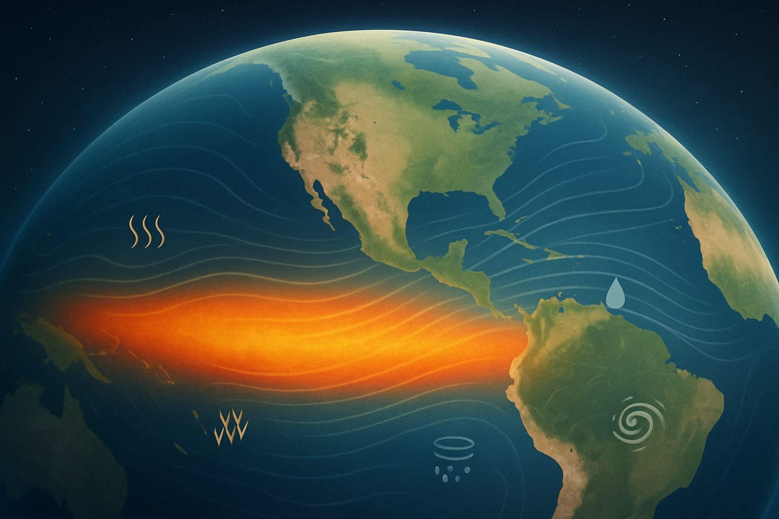
A powerful climate pattern in the tropical Pacific is strengthening, and international forecasters say its influence could extend well into early 2027.
The World Meteorological Organization said September 3 that El Niño is firmly established and expected to intensify into a very strong event. Its latest outlook gives the phenomenon a nearly 100% chance of continuing through February 2027. NOAA’s Climate Prediction Center likewise says there is a greater-than-90% chance of a very strong El Niño during the Northern Hemisphere fall and winter.
That does not mean every location will experience extreme weather, or that forecasters can predict the weather in a particular town months in advance. El Niño changes the odds. It alters the circulation of the atmosphere by adding unusual heat to the tropical Pacific Ocean, which can shift the position and strength of storm tracks and influence rainfall and temperature patterns around the world.
For households, the practical consequences may show up through several channels: higher heating or cooling demand, changing water-supply conditions, disrupted agricultural seasons, wildfire concerns, or an increased risk of heavy rain in some regions. The direction of the effect depends heavily on location and season. A pattern that increases rainfall in one area can contribute to drought somewhere else.
The current forecast is notable because the projected event may be unusually strong. NOAA’s latest diagnostic discussion assigns a 69% chance that El Niño during October through December 2026 will exceed a threshold associated with the strongest events in the historical record used for its comparison. NOAA also reported that sea-surface temperatures in the eastern equatorial Pacific were already more than 2 degrees Celsius above average in July, while the ocean beneath the surface contained even larger warm anomalies.
The World Meteorological Organization’s seasonal outlook projects an average Niño 3.4 temperature anomaly of approximately 3.6°C for September through November. That figure refers to a defined region of the tropical Pacific and a seasonal average; it is not a forecast that global air temperatures will rise by 3.6°C.
That distinction matters. Seasonal climate outlooks are probability maps, not day-by-day forecasts. They can indicate that a region has a higher chance of being warmer or wetter than normal, but they cannot determine whether a specific household will experience a heat wave, flood, storm, or dry spell. Other patterns can strengthen, weaken, or redirect the typical El Niño influence.
One such factor is already in view. WMO expects a positive phase of the Indian Ocean Dipole to develop, and says that this pattern could reinforce or modify some of El Niño’s usual effects. This is one reason regional forecasts remain essential even when confidence in the larger Pacific signal is high.
The most useful takeaway is not that El Niño guarantees a particular disaster. It is that the background conditions are becoming important enough for communities to plan around changing probabilities. Water managers, farmers, utilities, emergency officials, and public-health agencies can use the outlook to test whether their preparations still make sense before the most consequential season arrives.
The next major checkpoint comes on September 10, when NOAA is scheduled to issue its next ENSO Diagnostic Discussion. That update will help show whether the observed ocean and atmospheric changes are continuing along the unusually strong path described by the latest international forecasts.
For everyone else, the message is simpler: expect a season of elevated uncertainty, not a single global script. El Niño may shape the odds, but local forecasts—and local preparation—will determine what it actually means where people live.
Sources & Further Reading
- World Meteorological OrganizationPrimary source
- World Meteorological OrganizationPrimary source
- World Meteorological OrganizationPrimary source
- NOAA Climate Prediction CenterPrimary source
- NOAA Climate Prediction CenterPrimary source
StoryBreak
Independent digital news and reporting, updated throughout the day.
This article was researched and drafted with AI assistance and reviewed as part of StoryBreak's editorial process before publication. Read our editorial standards.