U.N. Set to Vote on Map Designed to Show Africa at Its True Scale
The General Assembly is considering a Togo-sponsored resolution encouraging wider use of maps that portray countries and continents according to their relative area, challenging the centuries-old dominance of the Mercator projection.
By StoryBreak
Published September 5, 2026 at 1:58 AM
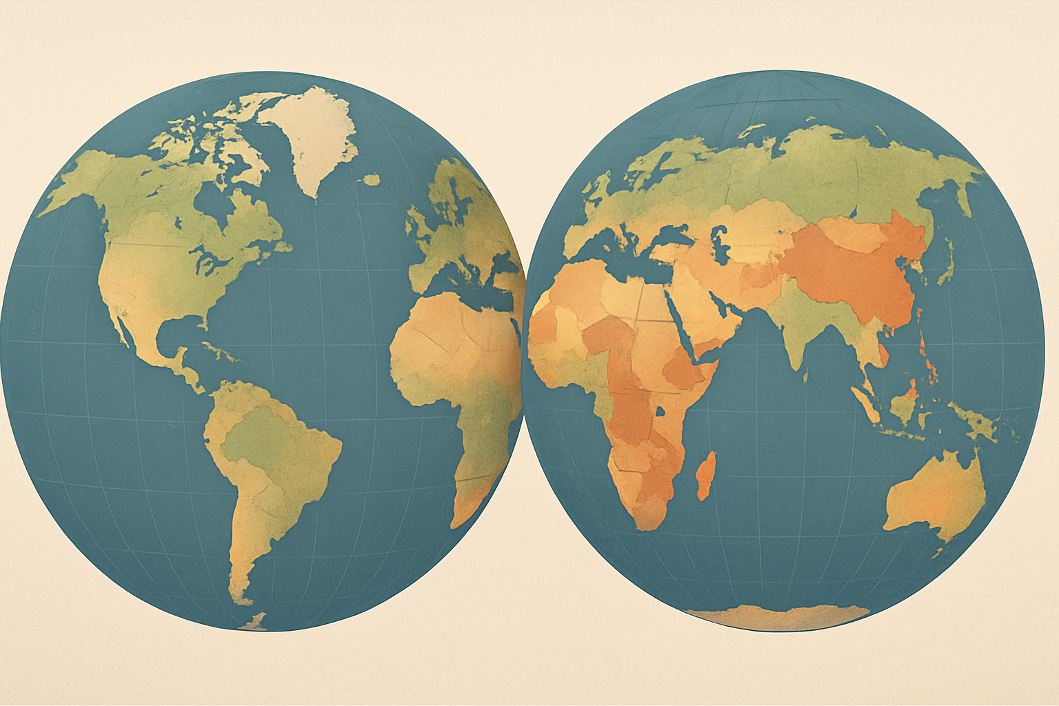
The United Nations General Assembly is scheduled to vote on a resolution urging the world to rethink how it draws the map—particularly the way Africa is represented.
The proposal, titled “Correct the Map,” calls for more equitable cartographic representation of the world’s regions, with a specific focus on Africa. It is sponsored by Togo and backed by African Union member states, according to reporting and the Assembly’s published schedule.
The campaign targets the Mercator projection, the familiar rectangular map first published by Flemish cartographer Gerardus Mercator in 1569. Mercator’s design is useful for navigation because it preserves the shape of compass bearings, but it dramatically enlarges areas near the poles and makes regions close to the equator appear smaller than they are.
That distortion is especially visible when Africa is compared with Greenland. On many common versions of the Mercator map, the two landmasses appear roughly similar in size. In reality, Africa’s area is about 14 times greater than Greenland’s.
The proposed change is associated with the Equal Earth projection, a map design introduced in 2018 by cartographers seeking to preserve the relative area of continents while presenting the globe in a recognizable world-map format. Unlike Mercator, an equal-area projection does not make high-latitude countries appear disproportionately large.
The resolution would not, by itself, force governments, schools, publishers or technology companies to replace every map in use. U.N. General Assembly resolutions of this kind are generally nonbinding. Instead, supporters see the vote as a diplomatic signal that could encourage educators, public institutions and digital mapping services to adopt alternatives that show countries’ relative sizes more accurately.
Robert Dussey, Togo’s foreign affairs minister, has framed the initiative as a question of scientific accuracy as well as representation. Supporters argue that maps influence how people understand geography, economic importance and the balance between the global north and south.
Critics of the Mercator projection have made similar arguments for decades, although cartographers caution that no flat map can represent the Earth perfectly. Every projection involves trade-offs: some preserve area, others shape, distance or direction. The issue is therefore not whether one map can eliminate distortion, but which type of distortion is appropriate for a particular purpose.
The proposal’s appearance on the Assembly agenda marks a formal step for a campaign that the African Union endorsed in 2025. Togo has also indicated that it hopes to organize a follow-up meeting in Lomé with the African Union, UNESCO and technology companies to discuss how a more accurate projection could be used in education and digital mapping.
The vote is expected to test whether a largely symbolic cartographic issue can attract broad international support. Whatever the outcome, the debate has already renewed attention on a basic fact of geography: the map most people recognize is not a neutral picture of the world, but a projection shaped by the purpose for which it was created.
Sources & Further Reading
StoryBreak
Independent digital news and reporting, updated throughout the day.
This article was researched and drafted with AI assistance and reviewed as part of StoryBreak's editorial process before publication. Read our editorial standards.