
Hurricane Nolo Strengthens Near Hawaiʻi as Big Island Faces Hurricane Watch
Hurricane Nolo reached 105 mph Friday while moving slowly north-northeast south of Hawaiʻi Island. Officials warn that the storm’s biggest threats could extend beyond its projected center, with hurricane-force winds, extreme rainfall, flash flooding, mudslides and dangerous surf possible through the weekend.
By StoryBreak
Published September 26, 2026 at 12:05 AM
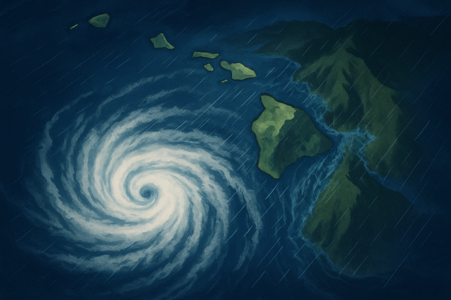
Hurricane Nolo strengthened to a Category 2 hurricane Friday as it moved slowly north-northeast toward the waters south of Hawaiʻi Island, prompting officials to maintain a Hurricane Watch across the Big Island.
As of 2 p.m. Hawaiʻi time Friday, Nolo had maximum sustained winds of 105 mph, according to the National Hurricane Center. The storm was about 155 miles south of South Point and moving north-northeast at 5 mph. Its central pressure had fallen to 975 millibars, another sign of a strengthening system.
A Tropical Storm Warning and Hurricane Watch cover Hawaiʻi Island, including its eastern, southern, southeastern, northern and interior areas, as well as the summits, Kohala and Kona. Maui County remains under a Tropical Storm Watch. The rest of the state is under a Wind Advisory.
The immediate forecast does not call for Nolo’s center to cross Hawaiʻi Island. The National Weather Service says the hurricane should continue northward through Friday night before turning sharply west on Saturday. Forecasters expect the storm to become a major hurricane over the weekend as it moves west of the island chain.
That forecast path does not eliminate the danger. Tropical systems can spread their most damaging effects far beyond the eye, and Hawaiʻi’s steep terrain can intensify rainfall and runoff. The National Weather Service says bands of heavy showers and thunderstorms will affect the Big Island and Maui County over the next several days, with the heaviest flooding risk on the windward and southeastern sides of Hawaiʻi Island.
The latest local statement projects another 10 to 15 inches of rain on the Big Island, with isolated totals near 20 inches. Such rainfall can overwhelm streams, roads and drainage systems, including in places that do not normally flood. Mudslides and rockslides are also possible, especially in steep areas.
Tropical-storm-force winds could reach Hawaiʻi Island as early as Friday afternoon, with hurricane-force winds possible late Friday night. Forecasters also warn of dangerous surf and rip currents along south- and southeast-facing shores, as well as the possibility of isolated tornadoes and waterspouts near the storm’s track.
The practical meaning of the Hurricane Watch is that residents should not wait for a warning or for the storm’s forecast track to become exact before finishing preparations. A watch indicates that hurricane conditions are possible within the designated area. Residents should secure loose outdoor items, protect property from flooding, charge essential devices, review evacuation routes and follow instructions from local officials.
For visitors, the most important uncertainty is not simply whether Nolo makes landfall. Even a storm that passes south of the island can disrupt roads, overwhelm low-lying areas, produce dangerous surf and trigger closures or power outages. Conditions may deteriorate before the center reaches its closest point.
Nolo’s forecast will continue to change as new aircraft observations and weather data arrive. The storm’s projected center, intensity and rainfall distribution remain key variables, but the central message from forecasters is already clear: Hawaiʻi Island should prepare for potentially life-threatening flooding and damaging winds through the weekend.
Sources & Further Reading
- National Hurricane Center and Central Pacific Hurricane CenterPrimary source
- National Weather Service HonoluluPrimary source
- Hawaiʻi Emergency Management AgencyPrimary source
- National Weather Service HonoluluPrimary source
StoryBreak
Independent digital news and reporting, updated throughout the day.
This article was researched and drafted with AI assistance and reviewed as part of StoryBreak's editorial process before publication. Read our editorial standards.