How an 8.7-Magnitude Kamchatka Earthquake Turned Into a Pacific-Wide Tsunami Alert
A powerful earthquake off Russia’s Kamchatka Peninsula activated tsunami warning systems across the Pacific in July 2025. The event shows why alerts can span an ocean even when the eventual waves vary sharply from coast to coast.
By StoryBreak
Published September 24, 2026 at 10:32 AM
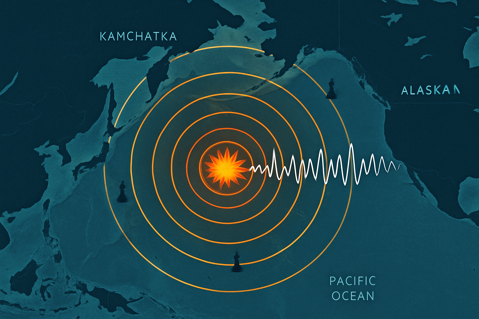
A powerful earthquake off Russia’s Kamchatka Peninsula sent tsunami-warning systems into action across the Pacific on July 29, 2025, turning a rupture in one of the world’s most seismically active regions into a global coastal emergency.
The quake occurred at 23:24 UTC off Kamchatka’s east coast. Early bulletins placed its magnitude at 8.7 and its depth at roughly 74 kilometers. Later NOAA bulletins listed the event as magnitude 8.8. That revision was not a contradiction so much as a reminder that earthquake measurements are refined as seismic networks process more data.
The first response was based on the earthquake itself: its size, offshore location and potential to displace the seafloor. The Pacific Tsunami Warning Center issued threat messages, while countries and territories around the Pacific activated their own procedures. Alerts and advisories reached areas including Japan, Hawaii, Alaska, the U.S. West Coast, the Philippines and parts of Latin America and Oceania.
That geographic spread was the most important fact for people far from the epicenter. Tsunami waves can cross entire ocean basins, but they do not behave like a single wall of water moving uniformly toward every coastline. Depth, the shape of the seafloor and the angle of a bay or harbor can amplify or reduce the local effect.
The strongest reported impacts were close to the source. Reuters reported waves exceeding 3 meters in the northern Kuril Islands, with a maximum of about 5 meters cited in Severo-Kurilsk. NOAA’s later event summary documented the broader pattern: significant local effects near Kamchatka but much smaller waves in many distant locations. The Associated Press reported waves of roughly 2 to 5 feet in the San Francisco area and about 1.7 meters in Hawaii.
That difference explains why “tsunami alert around the world” can sound more catastrophic than the final outcome in many places. A warning is a risk-management decision made before all the evidence is available. NOAA says warning centers begin with preliminary earthquake information, then update their assessments using tide gauges, deep-ocean sensors, forecast models and additional seismic analysis.
The Philippines offers a clear example of that process. Its science agency issued a local advisory for possible minor sea-level disturbances after the quake, then canceled it after monitoring stations detected no significant disturbance or destructive waves.
The lesson is not that widespread alerts were excessive. It is that the alerts were designed to buy time while the hazard was still uncertain. A large offshore earthquake can produce dangerous waves near its source even if distant communities ultimately see only unusual currents or small surges.
For coastal residents, the practical rule remains simple: after a strong or long earthquake, move away from the shoreline and follow official instructions rather than waiting to see whether a wave arrives. The Kamchatka event showed both sides of the tsunami-warning system—how quickly it can connect distant authorities, and how much local conditions determine what happens next.
Sources & Further Reading
- U.S. Tsunami Warning Centers / NOAAPrimary source
- NOAA National Centers for Environmental InformationPrimary source
- UNESCO Intergovernmental Oceanographic CommissionPrimary source
- DOST-PHIVOLCS, Republic of the PhilippinesPrimary source
- Reuters
- Associated Press
StoryBreak
Independent digital news and reporting, updated throughout the day.
This article was researched and drafted with AI assistance and reviewed as part of StoryBreak's editorial process before publication. Read our editorial standards.